
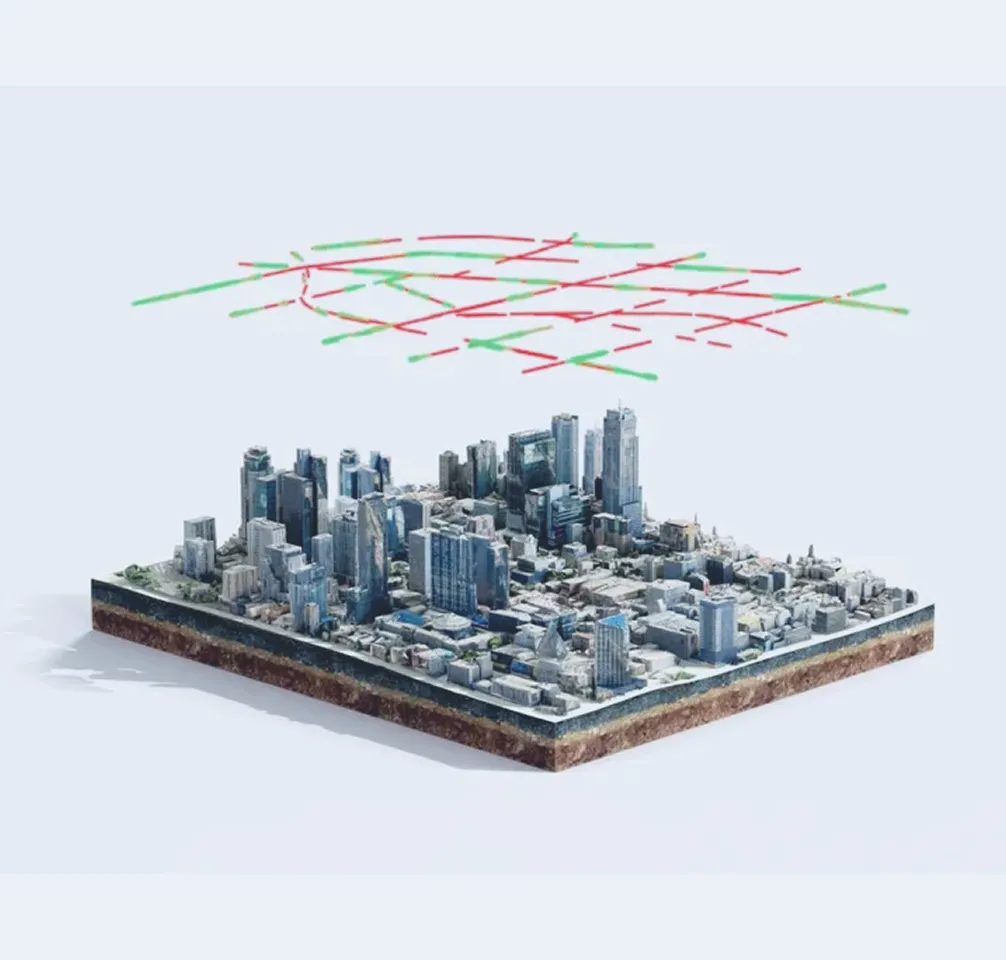
Your impact, our solutions
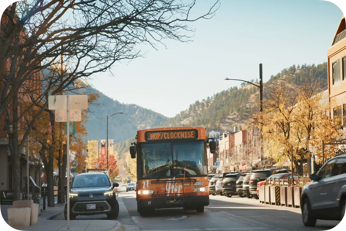
Colorado Department of Transportation (CDOT) partners with Waze for Cities
Link to Youtube Video (visible only when JS is disabled)
Stories of people, places, and partners


Voices of city leaders


Copenhagen uses Environmental Insight Explorer (EIE) Project Air View data to prioritize climate actions that have immediate impact on human health. The data has helped the city to set low-emission zones, and to explore ways on how to build safe zones from pollution around schools and playgrounds in high-pollution areas—which means more children will have access to cleaner air.
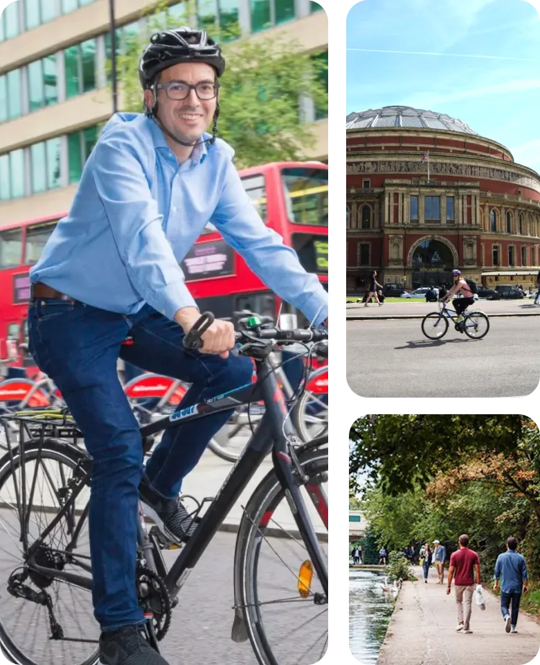
The Mayor and I are committed to making cycling in London as safe and accessible as possible and have been working closely with Google. I’m delighted that Google Maps is enhancing the navigation system for cycling. These updated algorithms will help Londoners choose safer cycling routes and build a greener, better London for everyone.
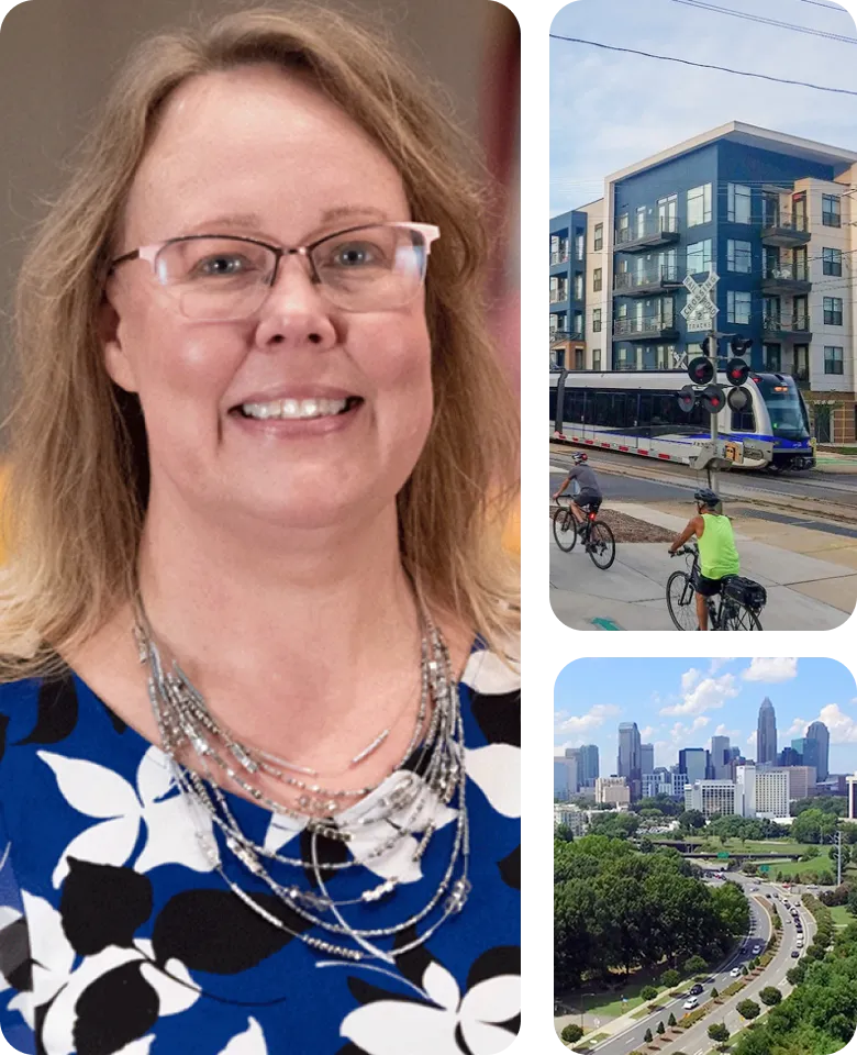
We value our partnership with Waze for Cities and how it’s benefiting the community in Charlotte. By sharing up-to-date information, we help travelers adjust their routes accordingly. Through this partnership, Charlotte is harnessing the power of technology to improve travel for residents and visitors, while contributing to the city’s long-term sustainability and livability.
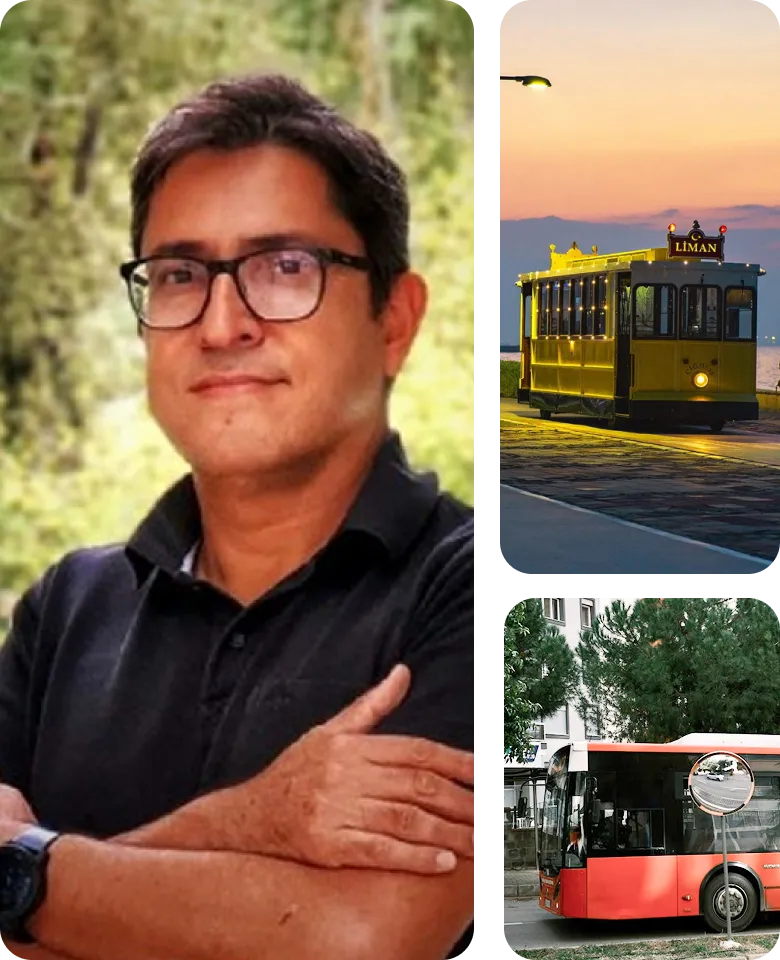
Izmir Metropolitan Municipality is using Google Environmental Insight Explorer transport emissions and trips data to understand their carbon footprint and the mobility patterns of their citizens. The insights will inform Izmir's mobility strategy and help reduce private transport trips, increase active mobility (walking and cycling) and encourage the use of low-carbon public transport.
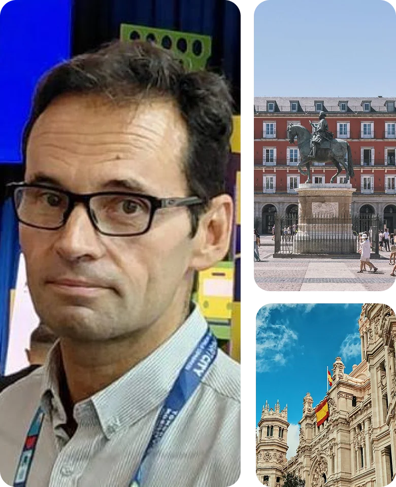
At CRTM, delivering real-time public transport data on Google Maps marked a turning point for mobility in Madrid. Through close collaboration and shared commitment, we overcame complex technical challenges to make live information available to everyone. This milestone empowers millions of citizens to travel with confidence and brings public transport closer, smarter and more human.


